Bhopal:
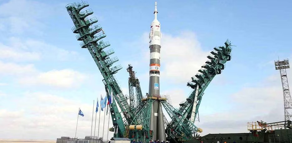
Russia has launched a new Earth-observation satellite capable of capturing highly detailed images of the planet’s surface. Named ‘KOEN’, the satellite is reported to have an imaging resolution of 50 centimetres per pixel. This capability could help monitor vehicles, buildings and military-related activities on the ground. Amid the ongoing war in Ukraine, the launch is being viewed as a potential step towards strengthening Russia’s space-based surveillance capabilities.
Launched Aboard Soyuz Rocket on November 14
According to Russia’s space agency Roscosmos, two private satellites, KOEN and Kinosputnik, were launched aboard a Soyuz-2.1b rocket from the Vostochny Cosmodrome on November 14, 2026. KOEN was developed by the private company MT-Lab. Its reported image resolution is 0.5 metres per pixel, while the second satellite has a resolution of 0.8 metres per pixel.
Can It Detect Soldiers Hiding Near Trees?
A resolution of 50 centimetres means that images can capture details of objects approximately half a metre in size on the ground. This could assist in identifying military vehicles, large equipment and buildings. Artificial intelligence-based algorithms may also be used to analyse the images and identify vehicles or activities near tree cover.
However, claims that the satellite can accurately identify individual soldiers hiding beneath trees have not been independently established. Clouds, dense foliage, camouflage and the time between successive passes over the same location can all affect the usefulness of satellite imagery.
Military Deployment Not Officially Confirmed
KOEN has been described as a satellite developed for civilian and commercial applications. Its potential uses include agriculture, construction, land-use monitoring and natural disaster assessment. Russia has not officially confirmed that it will be deployed specifically for military surveillance of Ukraine. Independent verification of its actual capabilities and the availability of customer-level imagery also remain pending.
Growing Role of Satellites in Modern Warfare
Commercial satellite imagery is already being used in the Ukraine conflict to monitor military positions and activities. The combination of high-resolution images and AI-based analysis could make intelligence gathering faster and more efficient in future conflicts.
Hashtags: #ScienceTechnology #Bhopal #Russia #Launches #Spy #Satellite #Capable #High #Resolution #RussiaLaunchesSpySatellite